Maps & Atlases
Learn More about the Collection
Take in a bird’s eye view of Maryland with our collection of cartographic materials that date back to 1844. Our collection covers maps, atlases, navigational charts, and geo-spatial data that document the history and evolution of the state over the centuries.
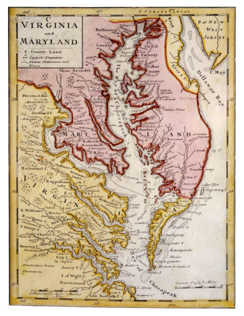
Images: Map of Virginia and [sic] Maryland showing English and Indian plantations, 1736, Medium Map Collection; A New and Accurate Map of Baltimore Town (inset), dedicated to Thomas Langton Esquire by G. Gouldsmith Presbury, 1780, M362
Use the Library Catalog to conduct keyword searches for maps and atlases, and check out our resources below.
Visit our Digital Collections to view a sampling of materials from the map collections.
Browse or search our guides and inventories for the map collection in our Finding Aids Database.
Your History Lives Here
Since 1844, we have collected, preserved, and interpreted Maryland's diverse history, art, and culture. Visit and see it at the Maryland Center for History and Culture.
Hours & TicketingDirections & AccessibilityFAQs
